Oceanographic Information Service
Satlink’s Oceanographic Information Service, provides near real-time, ocean data to help commercial fishing captains quickly identify where fish are likely to concentrate. Commercial fishing vessels around the world use this service to minimize search time, reduce operational costs and increase catch rates. Satlink’s easy-to-use free software, ELB Program Manager, features different map layers that combine inputs including, high-resolution ocean satellite imagery, weather forecasts and gear tracking (when using Satlink’s ILL+ Longline Buoy) that create actionable intelligence.
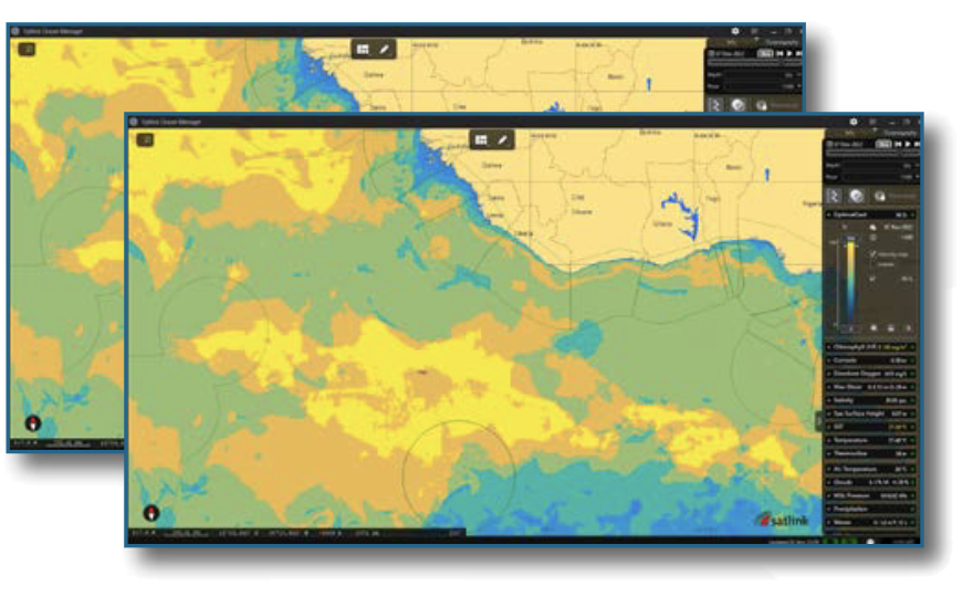
Optimalcast
Identify areas with the most suitable conditions for fishing.
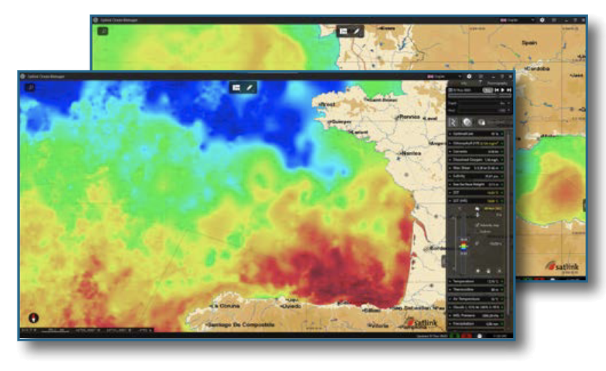
SST HR
Sea surface temperature with the highest accuracy available.
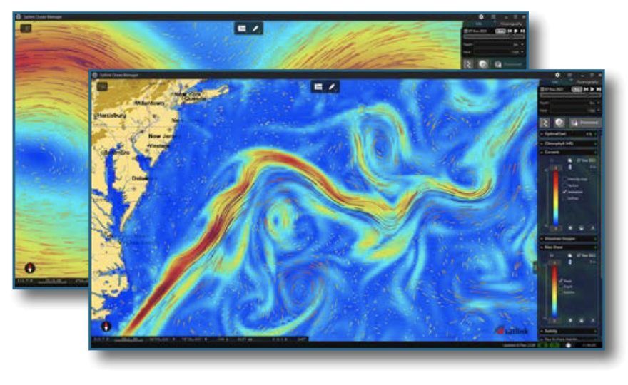
Currents
Visualise currents with intuitive and representative animations.
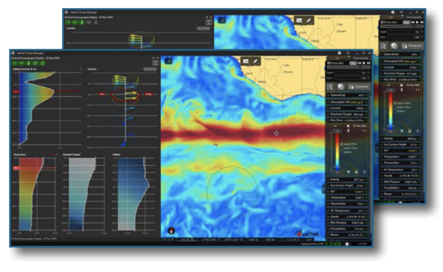
Vertical Oceanography
Complete information, from the surface to the seafloor.
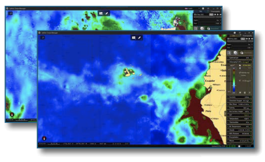
Chlorophyll
Find fronts and productive areas.
Download the latest oceanographyand meteorology maps,with direct satellite information.

Provides information from the surface toa maximum depth of 300m, to help findthe best fishing grounds.
Plan fishing trips according to presentand future conditions to minimise effort,maintain safety and reduce fuel consumption.

Visual, intuitive and fully configurable:allowing you to select parameters,areas, number of days (past and future)and resolution.
Oceanographic and meteorological information maps available
Information from surface to 300m depth. | Data with up to 8 days of forecast. | Resolution up to 1km x 1km

Map overlay to obtain a complete view of sea conditions.

Accessible information both on board and ashore for improved management of the fishing fleet,including notifications of regular information updates.

Provides additional information for improved awareness of the context of Satlink smart buoys.

